I’ve been in too many places where my phone map just quit on me.
You’re probably here because you’re tired of generic maps that don’t show what you actually need to see. Or maybe you’ve lost signal at the worst possible moment and had no backup plan.
Here’s what most travelers don’t realize: the map you use can make or break your entire trip.
I created lwmfmaps because I kept running into the same problems everywhere I went. Digital maps would fail. Details were missing. Nothing was built for people who actually want to explore.
This guide walks you through the different types of maps we offer and how to use them. I’ll show you which ones work best for different travel styles and why having the right map matters more than you think.
Our maps are designed by people who’ve been where you’re going. We know what details matter when you’re standing at a crossroads with no data connection.
You’ll learn what makes these maps different, how to pick the right one for your trip, and how to use them so you’re never lost or second guessing your route.
No fluff about changing your life. Just better maps for better travel.
The LWMF Maps Difference: Beyond the Standard Dot on a Screen
You’ve probably used Google Maps or Apple Maps a thousand times.
They get you from point A to point B. That’s what they’re built for.
But when you’re traveling somewhere new, you need more than directions. You need context. You need to know what actually matters when you’re standing on an unfamiliar street corner with limited battery and spotty service.
Here’s where most map apps fall short.
They show you everything. Every coffee shop, every tourist trap, every place that paid to show up in your search results. The algorithm doesn’t care if a spot is worth your time. It just cares about data points and ad revenue.
Some travelers say this is fine. They argue that more options mean better choices. Just read the reviews and figure it out yourself.
Fair enough.
But when you’re in the middle of exploring a new city, do you really want to spend 20 minutes comparing star ratings? Or worse, when your phone can’t even load those reviews because you’re offline?
That’s the problem I kept running into. So I built Lwmfmaps differently.
Every location you see on our maps gets vetted by someone who’s actually been there. No algorithms deciding what shows up. Just real recommendations from people who know these places.
And because I’ve traveled enough to know that WiFi is basically a myth in half the world, our maps work offline. Not as an afterthought, but as the main design principle.
The map guide lwmfmaps connects with travel tips and cultural notes too. So you’re not just finding a restaurant. You’re understanding why locals eat there and what to order when you walk in.
It’s a different approach. One that treats you like a traveler, not a data point.
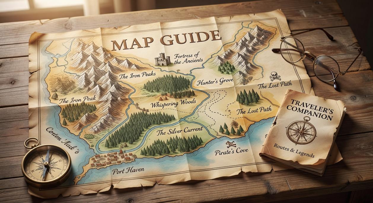
A Map for Every Journey: Exploring the LWMF Collection
Most travel maps do one thing.
They show you where to go.
But what if you need more than that? What if you’re planning a backpacking trip through the Sierras one week and exploring Portland’s food scene the next?
You’d need different tools for each trip. And honestly, that’s where most people get stuck. They end up with a dozen apps on their phone and a stack of paper maps that don’t quite fit what they need. To streamline your adventuring experience and avoid the frustration of juggling multiple apps and outdated paper maps, consider utilizing Lwmfmaps, which offers a comprehensive solution tailored to your specific travel needs. To simplify your journey and eliminate the overwhelming clutter of various tools, consider integrating Lwmfmaps into your adventure planning, as it offers a comprehensive solution that perfectly adapts to your specific needs.
Here’s what I figured out after years of planning trips that range from weekend city breaks to multi-day wilderness adventures.
You need options. Not just one type of map, but a collection that adapts to whatever you’re doing.
Interactive Digital Maps
Let’s start with the obvious one.
When you’re moving through a city or driving cross-country, you want something that moves with you. The interactive maps in the lwmfmaps collection do exactly that.
You get real-time GPS tracking so you never lose your place. But what I really like is the customizable layers. Need to find every coffee shop within walking distance? Done. Want to map out all the museums you’re hitting tomorrow? Takes about thirty seconds.
You can also drop personal notes on saved locations. I use this all the time to remember which entrance to use or where parking was easiest.
Printable Adventure Maps
Now here’s where things get practical.
Digital maps are great until your phone dies at mile seven of a twelve-mile hike. That’s happened to me more times than I want to admit (usually right when I need to check the trail junction).
The printable maps solve this. High-resolution PDFs you can download before you leave. They include topographical lines so you can see what kind of terrain you’re walking into. Water sources are marked. Trail markers are clear. Emergency information is right there if something goes wrong.
I keep these in a waterproof sleeve in my pack. They’ve saved me more than once.
Themed Cultural Guides
This is where the collection goes beyond just getting you from point A to point B.
The themed guides blend navigation with context. You’re not just looking at streets and landmarks. You’re following curated routes that tell a story.
The Historic Walking Tours show you buildings that matter and explain why. Culinary Hotspot Guides take you to places locals actually eat (not just the tourist traps). Architectural Marvels maps help you spot details you’d otherwise walk right past.
What you get is a richer experience. You’re not just visiting a place. You’re understanding it.
From Planning to Exploring: A Step-by-Step Guide
Most people approach travel planning in one of two ways.
Either they wing it completely (which sounds fun until you’re standing in the rain with no idea where to go). Or they over-plan every single minute and end up stressed before they even leave home.
I’m going to show you a different approach.
One that gives you structure without killing spontaneity. And it starts with picking the right map for how you actually travel.
Step 1: Select the Right Map
Here’s what matters.
A city break in Barcelona needs a different map than a week-long trek through Yosemite. Sounds obvious but most travelers grab whatever map looks pretty and hope it works.
Let me break down your options:
Interactive maps work best when you’re bouncing between neighborhoods and need real-time updates. Think Tokyo or New York where things change by the block.
Printable maps are your friend in places with spotty service or when you just want to mark things up with a pen. (I still do this because there’s something about physically circling a spot that helps me remember it.)
Themed maps shine when you’re chasing something specific. Food tours, hiking trails, historical sites. They cut out the noise and show you exactly what you came for.
The lwmfmaps travel guides at LWMFMAPS let you compare all three side by side before you commit.
Step 2: Build Your Itinerary
This is where most people either go overboard or don’t plan enough.
I use the map’s curated points to build a loose framework. Not a minute-by-minute schedule. Just a general flow for each day.
Save the locations that actually interest you. Not the ones you think you’re supposed to see.
Create a travel board and plot your routes. You’ll spot patterns pretty quick. Maybe all your morning spots are on the west side and your evening plans are across town. Now you can adjust before you’re wasting two hours on public transit. To optimize your travel routes and make the most of your time, be sure to follow the detailed “Instructions for Map Guide Lwmfmaps” which will help you identify key patterns in your daily movements. To optimize your travel routes and make the most of your time, be sure to follow the detailed Instructions for Map Guide Lwmfmaps, which will help you identify the best paths for your daily adventures. For the full picture, I lay it all out in Map Infoguide Lwmfmaps.
Pro tip: Leave gaps in your schedule. The best travel moments usually happen in the spaces between plans.
Step 3: Download for Offline Use
Here’s the reality.
Your phone WILL lose service at the worst possible moment. You’ll be standing at a fork in the trail or trying to find that restaurant everyone raved about and your data will just vanish.
Before you leave home, download everything with one click.
Maps, guides, saved locations. All of it lives on your device whether you have internet or not.
I learned this the hard way in rural Iceland when my rental car GPS died and cell service was nonexistent for 50 miles. Having offline maps saved that entire day.
The download process takes maybe 30 seconds. But it’s the difference between confidently exploring and frantically searching for WiFi.
Pro Tips for Mastering Your Map
Most mapping guides stop at the basics.
They’ll tell you how to drop a pin or save a location. Then they call it a day.
But I’ve found that’s where most people actually get stuck. You know the features exist but you don’t know when to use them or how they fit into real travel situations.
Here’s what I’ve learned from years of building maps that actually work.
Use layers the right way. Your map gets messy fast when you’re marking everything. I toggle layers on and off depending on what I need right then. Hungry? I only show restaurants. Need to catch a bus? Just transit stops. It sounds simple but it changes how you move through a place.
Share your maps with your group. I can’t count how many times I’ve watched travel groups argue about where to meet or which spots to hit. Send them your saved locations or your whole custom map. Everyone sees the same plan and you stop playing text tag about addresses.
Go digital and physical for backcountry trips. I use my phone for planning because it’s faster and I can adjust on the fly. But when I’m heading into remote areas, I print a backup. Batteries die. Service drops. Paper doesn’t care. (Yeah, it’s old school but it works.)
Want more detail on setting up your maps from scratch? Check out the instructions for map guide lwmfmaps to get the full walkthrough.
These aren’t tricks. They’re just practical ways to use tools you already have.
I’ve traveled to places where my phone became a useless brick.
No service. No data. Just me and a dead GPS app.
That’s when I learned the hard way that most mapping tools fail you when you need them most. Generic apps don’t understand the terrain. They don’t know the local trails or the shortcuts that matter.
You came here because you’re tired of that anxiety. The fear of getting lost or missing out because your navigation let you down.
lwmfmaps solves this problem.
Our maps work offline. They’re built for real adventures, not just city streets. You get accurate information that doesn’t disappear when you lose signal.
I designed these maps for travelers who refuse to let bad navigation ruin their trips. Each one is curated with the details you actually need on the ground. For those adventurers eager to explore without the frustration of poor navigation, my meticulously crafted Lwmfmaps Travel Guides offer essential details that will enhance every journey, ensuring you never miss a moment of discovery. For travelers seeking seamless adventures and the freedom to explore without the hassle of getting lost, my Lwmfmaps Travel Guides are designed to provide all the essential information you need right at your fingertips. For the full picture, I lay it all out in Travel Guides Lwmfmaps.
You now have a clear picture of what reliable navigation looks like. No more guessing. No more panic when your phone can’t connect.
Ready to Travel with Real Confidence?
Stop settling for tools that fail when it matters most.
Our offline maps have guided thousands of travelers through their best adventures. They work when everything else stops working.
Browse our collection right now. Find the map that matches your destination and download it before you go.
Your next journey deserves better than hope and luck.
 Ask Zayric Tornhaven how they got into cultural insights and experiences and you'll probably get a longer answer than you expected. The short version: Zayric started doing it, got genuinely hooked, and at some point realized they had accumulated enough hard-won knowledge that it would be a waste not to share it. So they started writing.
What makes Zayric worth reading is that they skips the obvious stuff. Nobody needs another surface-level take on Cultural Insights and Experiences, Travel Guides and Tips, Adventure Travel Ideas. What readers actually want is the nuance — the part that only becomes clear after you've made a few mistakes and figured out why. That's the territory Zayric operates in. The writing is direct, occasionally blunt, and always built around what's actually true rather than what sounds good in an article. They has little patience for filler, which means they's pieces tend to be denser with real information than the average post on the same subject.
Zayric doesn't write to impress anyone. They writes because they has things to say that they genuinely thinks people should hear. That motivation — basic as it sounds — produces something noticeably different from content written for clicks or word count. Readers pick up on it. The comments on Zayric's work tend to reflect that.
Ask Zayric Tornhaven how they got into cultural insights and experiences and you'll probably get a longer answer than you expected. The short version: Zayric started doing it, got genuinely hooked, and at some point realized they had accumulated enough hard-won knowledge that it would be a waste not to share it. So they started writing.
What makes Zayric worth reading is that they skips the obvious stuff. Nobody needs another surface-level take on Cultural Insights and Experiences, Travel Guides and Tips, Adventure Travel Ideas. What readers actually want is the nuance — the part that only becomes clear after you've made a few mistakes and figured out why. That's the territory Zayric operates in. The writing is direct, occasionally blunt, and always built around what's actually true rather than what sounds good in an article. They has little patience for filler, which means they's pieces tend to be denser with real information than the average post on the same subject.
Zayric doesn't write to impress anyone. They writes because they has things to say that they genuinely thinks people should hear. That motivation — basic as it sounds — produces something noticeably different from content written for clicks or word count. Readers pick up on it. The comments on Zayric's work tend to reflect that.