Why Paper Maps Still Matter in 2026
Out in the field, tech breaks. GPS cuts out in deep canyons. Phone screens crack. Batteries vanish faster in cold or rain. And yet, some still hike without a paper map. Bold move and not in a good way.
Paper maps don’t drop signal. They don’t depend on a software update. They work soaked, frozen, folded, or stuffed in the bottom of your pack. When you need to reroute after a washed out trail or figure out if that was your turn two miles back, a paper map is instant clarity.
And let’s be clear: a lot of remote trails still aren’t fully mapped digitally. Or they’re mislabeled. Or the terrain’s changed and your app didn’t notice. That’s why seasoned hikers those who’ve been lost, found, and back again always carry a paper backup. Not as some old school throwback, but as essential insurance. Because out there, when the gear fails, skill and backup win.
What to Look for in a Quality Hiking Map
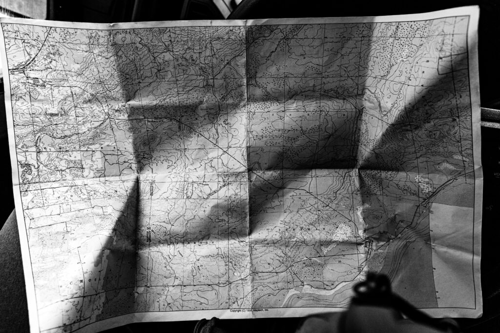
Not all paper maps are made equal. Start with scale this is your best friend out there. For a long distance trek across variable terrain, 1:50,000 topographic maps hit the sweet spot. If you’re planning short hikes or need fine trail detail, go tighter 1:25,000 or better. The goal is to match the map to your boots on ground experience.
Elevation lines matter too. You’re not just looking for where the trail goes you’re prepping for how it rises, dips, and twists. Contour detail gives your legs forewarning. Steep switchbacks, long ridgelines, sudden drops good maps show these clearly.
Next, don’t mess with fragile paper. Look for waterproof, tear resistant materials. You want something that survives rain, sweat, and the occasional cram it in your pack moment.
Also: don’t underestimate a clear legend and compass rose. If your map’s symbols and orientation aren’t instantly readable, you’re wasting daylight. Good maps stay intuitive under pressure. Bonus points for maps that show hazards loose scree, seasonal stream crossings, avalanche zones. That kind of info can change your plan or save your skin.
Finally, check for the most recent edition. Trails shift, closures happen. You don’t need surprises mid hike.
North America
National Geographic Trails Illustrated Maps
If you’re hiking in or around U.S. National Parks or popular backcountry areas, these maps are as close to essential as it gets. They show trailheads, campsites, elevation changes, water sources, and backcountry ranger stations all layered over clean, topographic detail. They’re printed on waterproof, tear resistant material and fold easily into a pack side pocket. Whether you’re in the Grand Canyon or Glacier, these will get you out and back without guesswork.
Green Trails Maps
Tailored for the wet and rugged Pacific Northwest, Green Trails Maps strip out excess visual clutter but keep what matters: contours, trails, junctions, and access points. Light enough to carry multiples but detailed enough to rely on. They’re favorites among Washington and Oregon hikers who still want a paper companion even if they have a GPS. The balance of simplicity and reliability makes them a smart pick for backwoods routes deep in rain country.
Combine Paper with Digital for Maximum Safety
Don’t pick sides smart hikers use both. Digital navigation tools offer fast GPS tracking and real time positioning, making them great for keeping tabs on your location mid hike. But they come with weak spots: no signal, dead batteries, software glitches.
That’s where paper maps hold their ground. A printed topo or trail map gives you the big picture overview terrain, elevation, exit points the kind of strategic info that’s hard to get on a zoomed in phone screen. It’s also the only option when your device quits completely.
The best move? Download local maps ahead of time using reliable apps, and pack a hard copy of your planned route. Use GPS for tight turns and trail forks, and rely on paper for orientation and backup. If you’re not sure where your app stands in the global lineup, check out this rundown: Comparing Navigation Apps: Which One Works Best Abroad.
A hybrid setup isn’t old school it’s practical. It’s how you stay fast, informed, and ready for when things don’t go as planned.
Final Tip
Treat your paper map like mission critical gear. Don’t just shove it loose into a side pocket store it in a ziplock bag or a proper waterproof map case. That way, sweat, rain, and accidental spills don’t make important sections unreadable. Fold it ahead of the trip to match your route so you’re not fumbling for orientation in the wind or losing time re folding on the trail.
Before you take your first step, mark your starting point and key waypoints. In an emergency or if navigation apps glitch you’ll know exactly where you began and where you’re headed. Guesswork isn’t a plan.
Redundancy isn’t paranoia it’s preparation. Batteries die. Screens crack. Maps don’t need a signal or a backup power bank. Keep one in your kit, and know how to read it. Backups aren’t optional they’re essential.